Patagonia Hiking: The 10 Best Hikes in Chile and Argentina
Ten Patagonia hikes compared on distance, days and season, with 2026-27 park fees and refugio prices, starting with our two Torres del Paine treks.
Quick links
Don't want to read all this?
We've planned 2,000+ hiking trips. Send your dates, fitness and group size — we'll map the route and book every night.
This list covers ten hikes in Chilean and Argentine Patagonia, from Torres del Paine to Navarino Island south of Tierra del Fuego. Each entry gives the distance, the days, the best months and the 2026-27 park fee. The first two are our own patagonia hiking tours, with refugio beds and dinners booked, and the other eight are classic hikes outside our tours.
Two things changed in 2026. Torres del Paine now sells a one-day or a multi-day ticket, and the O Circuit has been closed since May, after reopening in December 2025 with a cap of 100 people a day. The entries are numbered for navigation, not ranked.
Patagonia Hiking at a Glance
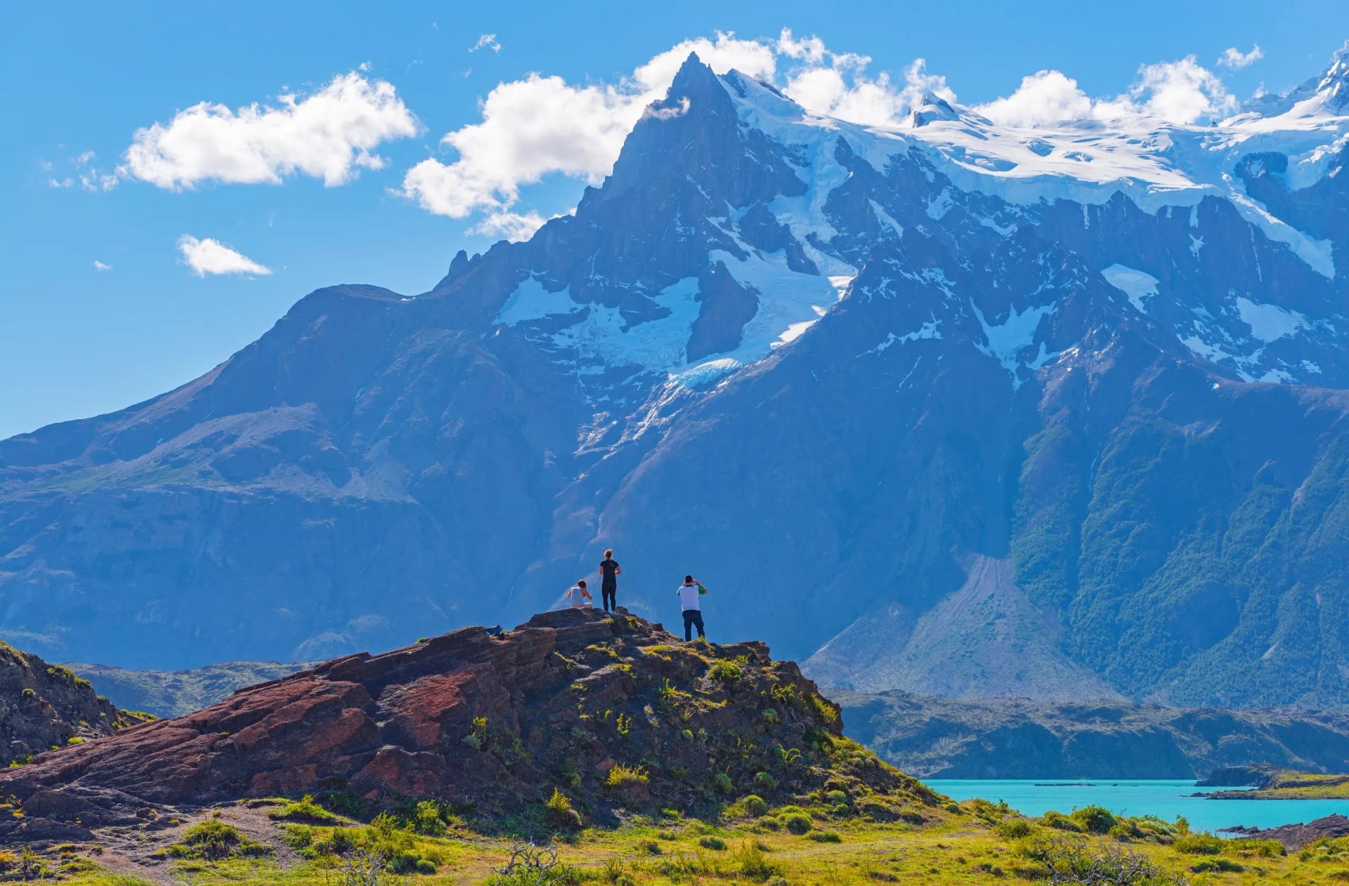
Two of the ten hikes are in Torres del Paine. Four start from El Chaltén or El Calafate in Los Glaciares, Argentina's largest national park. The other four are spread from Queulat on the Carretera Austral down to Navarino Island and Ushuaia, so no single trip covers all ten.
The table puts the ten side by side. Distances are round trips or full circuits from the park authorities, and from our own 2026 itineraries for entries 1 and 2. The best months are each trail's hiking season, not the dates of our tours.
Hike | Park, country | Distance | Days | Best months | Start from |
W Trek | Torres del Paine, Chile | 67 km (our route) | 4 to 5 | Oct to Apr | Puerto Natales |
O Circuit | Torres del Paine, Chile | 135 km (our route) | 7 to 9 | Nov to Apr | Puerto Natales or Punta Arenas |
Laguna de los Tres | Los Glaciares, Argentina | 25 km return | 1 | Nov to Apr | El Chaltén |
Laguna Torre | Los Glaciares, Argentina | 18 to 20 km return | 1 | Oct to Apr | El Chaltén |
Huemul Circuit | Los Glaciares, Argentina | 55 to 70 km | 4 | Dec to Mar | El Chaltén |
Perito Moreno walkways | Los Glaciares, Argentina | Just over 4 km | Half day | All year | El Calafate |
Cerro Castillo Trek | Cerro Castillo, Chile | 53.5 km | 3 to 5 | Dec to Mar | Villa Cerro Castillo |
Dientes de Navarino | Navarino Island, Chile | 40 to 50 km | 4 to 5 | Dec to Mar | Puerto Williams |
Ventisquero Colgante | Queulat, Chile | 3.2 km trail | Half day | Oct to Apr | Puyuhuapi |
Laguna Esmeralda | Tierra del Fuego, Argentina | 9 km return | 1 | Nov to Apr | Ushuaia |
The 10 Best Hikes in Patagonia
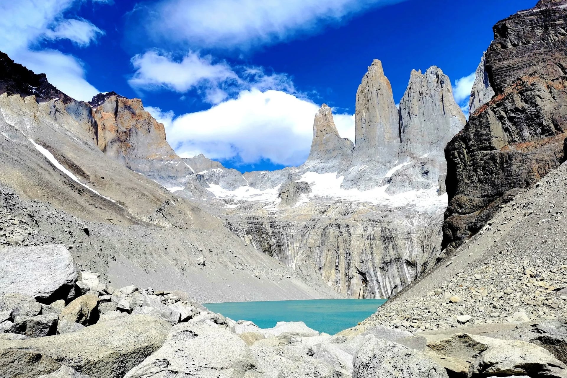
Entries 1 and 2 are our two self-guided Torres del Paine treks, with every refugio night booked before you arrive. The Base of the Towers, the day most hikers come for, is day 2 of entry 1. Both treks walk the same south face, and the O adds the back of the massif.
Entries 3 to 10 are classic hikes outside our tours: four from El Chaltén and El Calafate in Argentina, two multi-day treks in Chile, a rainforest walk to a hanging glacier and a day hike from Ushuaia. Each has its own fee, season and rules, given in the quick facts.
1. The W Trek, Torres del Paine
Distance: 67 km on four walking days
Duration: 7 days, departures 1 December to 12 March
Route: Puerto Natales, Torre Central, Los Cuernos, Paine Grande, Grey
Surface: Paths, suspension bridges and a boulder moraine
Difficulty: Level 3 of 5, 2,570 m of ascent in all
Best for: A first Patagonia trek with a bed every night
Three valleys on the south side of the Paine massif make up the W: the Ascencio to the Base of the Towers, the French Valley and the Grey glacier. Our walking days run 20, 12, 24 and 11 km, and CONAF times the last 1.4 km to the towers at a full hour.
Map
Every night in the park must be booked before you enter, with Las Torres and Vertice. We book the whole chain for you, with the park ticket, four dinners and the boat down Lago Grey on day 6. In 2026 CONAF made the W guide-only from 27 April to 15 September.
Each stage, refugio and side trip is set out day by day in our W Trek guide. The first and last nights are in a Puerto Natales hotel with breakfast. Tourist tax is the only cost paid locally, and luggage transfer is quoted on request for hikers who want to carry less.
2. The O Circuit, Torres del Paine
Distance: 135 km on seven walking days
Duration: 10 days, departures 13 January to 13 April
Route: Punta Arenas, Torre Central, Dickson, Los Perros, Paso John Gardner, Grey, Los Cuernos
Surface: Forest and moraine paths, mud and an exposed pass
Difficulty: Level 4 of 5, about 5,700 m of ascent
Best for: Fit hikers who want the whole Paine massif
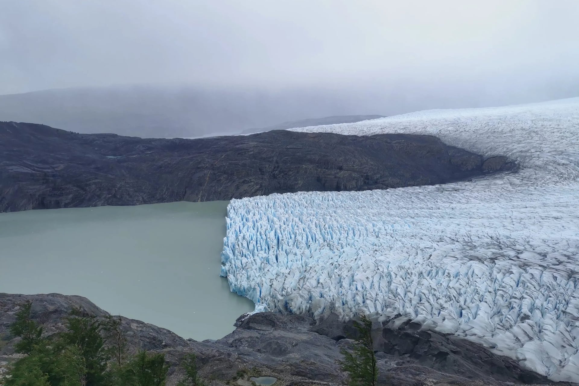
Our O adds the north and west sides of the massif to the W. Day 3 is the longest, 35 km from Torre Central to Camp Dickson. Day 5 crosses Paso John Gardner, at about 1,200 m, then drops 1,400 m to the shore of Lago Grey.
On 17 November 2025 five hikers died in a storm between Los Perros and the pass. When CONAF reopened the circuit on 9 December 2025 it set new rules for the O: one-way travel only, a cap of 100 people a day and compulsory registration at Guardería Coirón.
Map
CONAF has kept the O closed since May 2026, initially until 31 October 2026, with the reopening subject to a weather and safety check. Each stage, camp and the pass day are set out in our O Circuit guide.
The tour starts and ends in Punta Arenas, with one hotel night there and eight nights in refugios and camps inside the park. Gear rental and three meals a day on the trek are included, so there is no stove or food to carry.
3. Laguna de los Tres, El Chaltén
Distance: 25 km return from the village
Duration: 8 to 9 hours
Route: El Chaltén, Laguna Capri, Poincenot camp, the lagoon
Surface: Forest path and bog, then a steep moraine
Difficulty: Medium-high, 750 m of ascent
Park fee: ARS 50,000 a day, about USD 35, card only
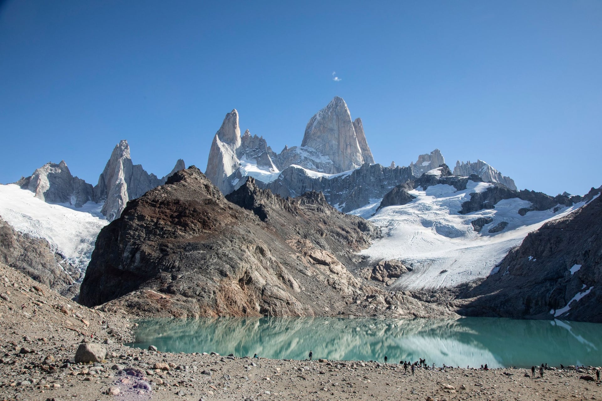
Argentina's park service calls Laguna de los Tres the closest natural viewpoint to Fitz Roy, and the trail leaves from the north end of El Chaltén. The first 8 km to Poincenot camp climb only 350 m. The last 2 km climb another 400 m, a pitch the park leaflet calls dangerous in wind and rain.
Turn back at the Fitz Roy viewpoint, 4 km out, if cloud hides the peak, because the view at the lagoon depends on it. Poincenot and Laguna Capri camps must now be booked in advance, and both allow gas stoves only. A side path near Poincenot leads to the Piedras Blancas glacier viewpoint.
4. Laguna Torre, El Chaltén
Distance: About 18 to 20 km return
Duration: 6 to 8 hours
Route: El Chaltén, Mirador Cerro Torre, De Agostini camp, the lake
Surface: Valley path through lenga forest, then moraine
Difficulty: Moderate, 250 m of ascent
Park fee: The same ARS 50,000 day pass, about USD 35
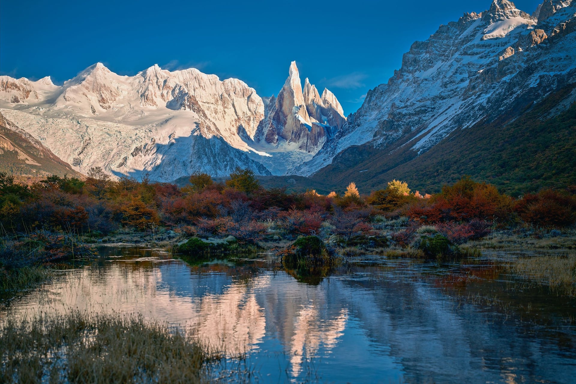
Laguna Torre stays low where Los Tres climbs: 250 m of ascent up the Fitz Roy river valley to a lake below Cerro Torre, about 3,100 m. The Mirador Cerro Torre, 3 km out, gives the first view of the peak. It is the hike to choose when wind rules out Los Tres.
De Agostini camp, 9 km in, is the only camp on the trail and must be booked. Mirador Maestri, 2 km past the lake, is exposed to the wind, the park leaflet warns. The 7 km Madre e Hija path links this trail with the Fitz Roy trail, so strong hikers can join the two.
5. Huemul Circuit, El Chaltén
Distance: About 55 to 70 km, by finish point
Duration: 4 days, 3 nights, camping
Route: El Chaltén, Laguna Toro, Paso del Viento, Paso Huemul, Bahía Túnel
Surface: Unmarked in places, two river crossings by cable
Difficulty: Hard and remote, no phone signal
Registration: Compulsory, online or at the park visitor centre
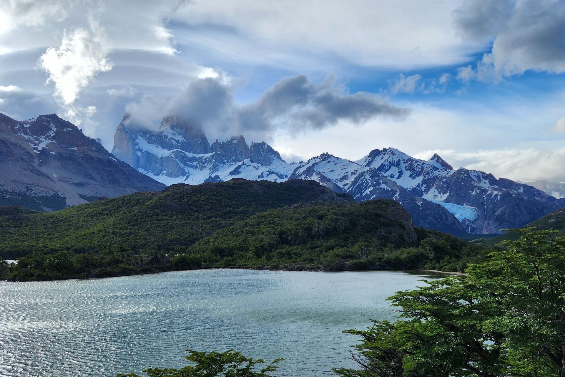
Registration is compulsory on the Huemul, because the park classes the loop round Cerro Huemul as a remote area. Day 1 walks about 16 km to Laguna Toro, and from Paso del Viento the Southern Patagonian Ice Field opens to the west.
From Paso Huemul the trail looks down on the Viedma glacier, at 975 km² the largest in Argentina. The Río Túnel is crossed twice on a Tyrolean cable, so each hiker carries a harness and locking carabiners. Most walkers book a pick-up at the last crossing, about 8 km from the village.
6. Perito Moreno Glacier, El Calafate
Distance: Just over 4 km of walkways
Duration: Half a day, about 12 hours with Big Ice
Route: El Calafate to the walkways, 80 km on RP 11
Surface: Steel walkways and steps; crampons on the ice
Difficulty: Easy on the walkways; Big Ice takes ages 18 to 50
Park fee: ARS 50,000 for foreign adults, cash or card
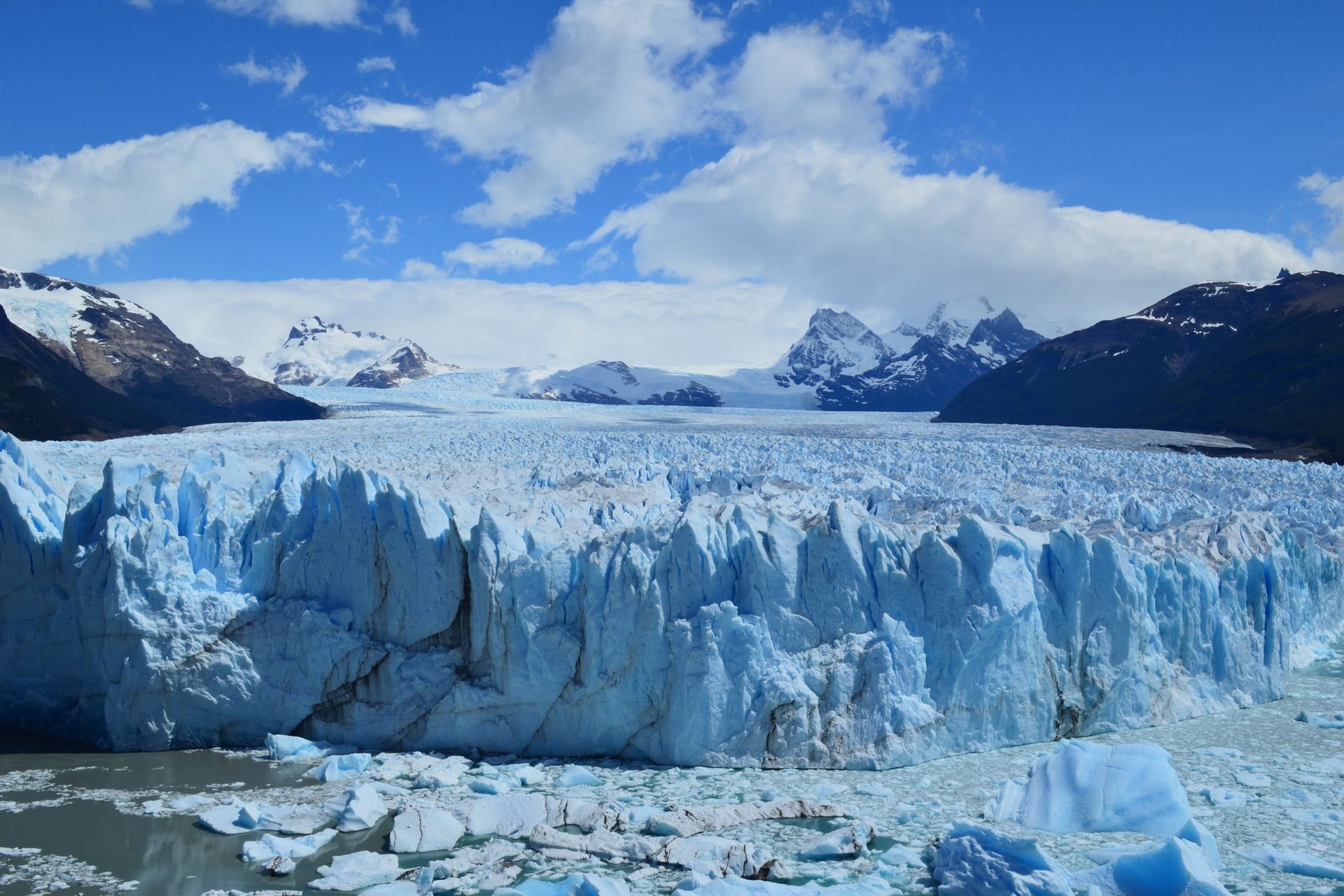
Perito Moreno is a walkway day, not a hike. Six walkway trails run from 150 m to 1.1 km long. All of them face the glacier front, which the park compares to the 67.5 m obelisk in Buenos Aires.
Walking on the ice needs the one concession, Hielo y Aventura. Minitrekking takes ages 8 to 65 and runs all year from 2026; Big Ice runs from 15 September to 30 April, with 3 hours on the ice. The glacier covers 254 km², a little more than Buenos Aires.
7. Cerro Castillo Trek, Aysén
Distance: 53.5 km, Las Horquetas to Villa Cerro Castillo
Duration: 3 to 5 days, camping
Route: Las Horquetas, Río Turbio, Portezuelo Peñón, El Bosque, the village
Surface: Waymarked with yellow posts over open passes
Difficulty: Medium, guided groups only at present
Park fee: CLP 37,750 three-day pass, about USD 38
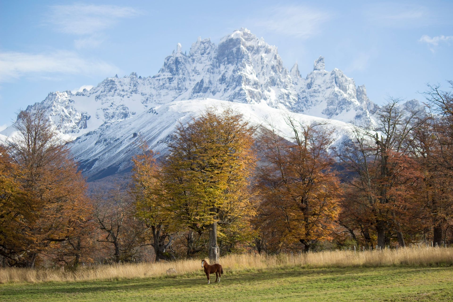
Cerro Castillo is a multi-day trek in Aysén, on the Carretera Austral 64 km south of Coyhaique. For now CONAF allows the traverse only with a certified guide, and the concession that sells tickets caps it at 40 people a day. CONAF closes the trail from May to September.
The short version is the day hike to Laguna Cerro Castillo: 13 km return with 1,122 m of ascent, from a trailhead 4 km from the village. Entry closes at 12:00, and CONAF lists this trail as guide-only too. Register at the park administration at Laguna Chiguay before any hike.
8. Dientes de Navarino Circuit, Navarino Island
Distance: 40 to 50 km, from and back to Puerto Williams
Duration: 4 to 5 days, wild camping
Route: Puerto Williams, Cerro Bandera, five passes to Paso Virginia
Surface: Rough mountain paths, deep mud, bog and scree
Difficulty: Hard, with route-finding and no phone signal
Registration: With the Carabineros in Puerto Williams, start and finish
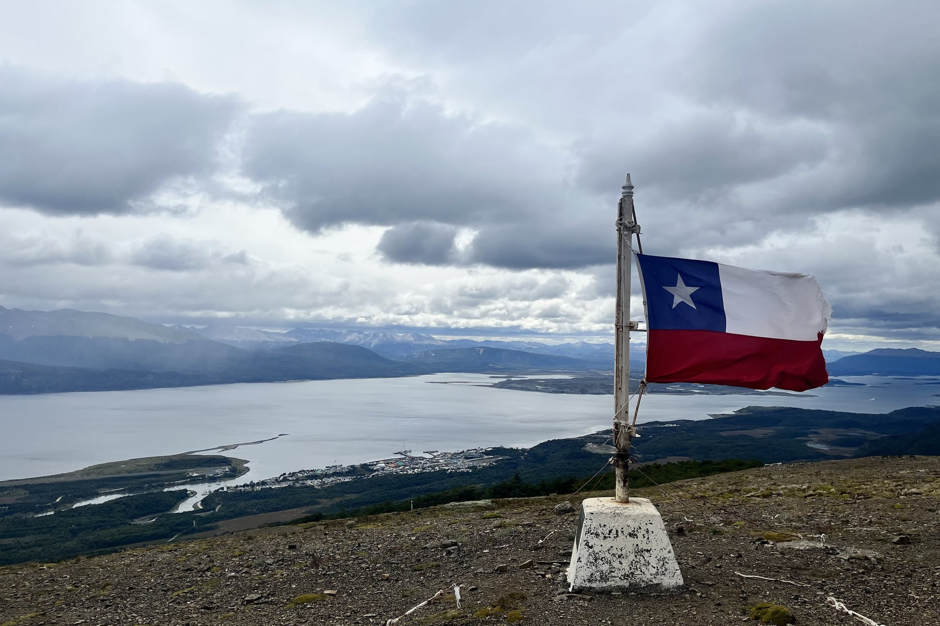
Australian Clem Lindenmayer first laid out this circuit in the 1990s, round the jagged Dientes de Navarino on the island south of Tierra del Fuego. Day 1 climbs straight up to Cerro Bandera above the Beagle Channel, and after that the route needs real navigation skills.
There are no campsites, only wild camping, and the registration rule applies at both ends. Expect mud and a steep descent from Paso Virginia, the last pass. DAP flies from Punta Arenas to Puerto Williams in about 1 hour 15 minutes.
9. Ventisquero Colgante, Queulat
Distance: 3.2 km moraine trail, plus 600 m to the lagoon
Duration: Half a day; about 2 hours on the trail
Route: Ventisquero sector car park, 20 km south of Puyuhuapi
Surface: Wet forest path and a bridge over the Río Ventisquero
Difficulty: Easy
Park fee: CLP 12,000, about USD 12; closed on Mondays
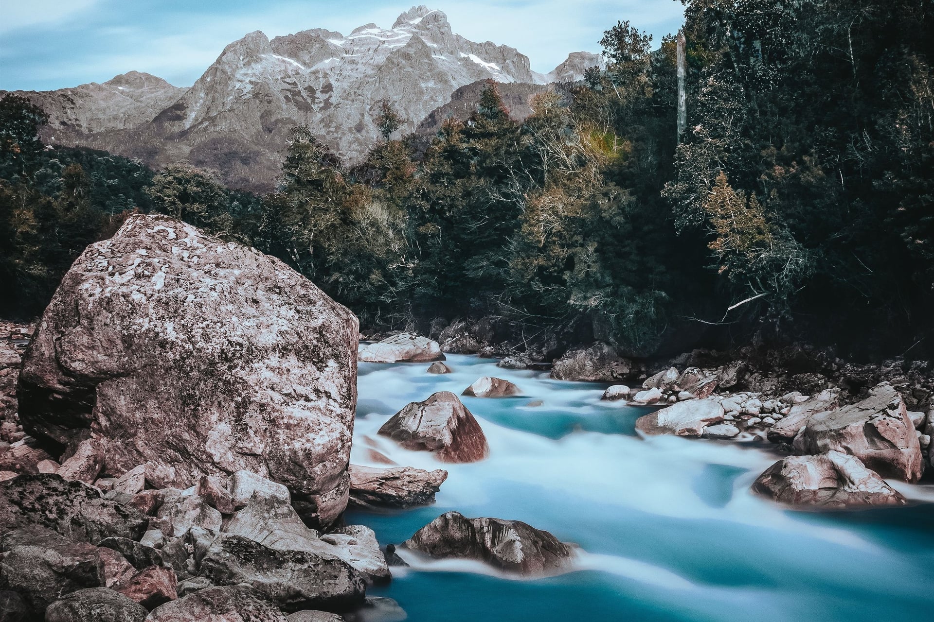
CONAF describes Queulat's hanging glacier as a mass of ice held between two hills, dropping ice and meltwater into Laguna Los Témpanos below. The moraine trail climbs through temperate rainforest to the viewpoint. It is the shortest hike on this list, and a half day from Puyuhuapi.
The park opens Tuesday to Sunday from 09:00 to 16:30, with last entry at 14:30. Its Ventisquero Colgante campsite has been closed since April 2026, so stay in Puyuhuapi instead, 20 km north on the Carretera Austral.
10. Laguna Esmeralda, Ushuaia
Distance: 9 km return, 220 m of ascent
Duration: 4 to 5 hours
Route: The Ruta 3 car park, 18 km from Ushuaia, to the lagoon
Surface: Lenga forest, a peat bog, then a short climb
Difficulty: Medium-easy
Best for: A first or last day in Ushuaia
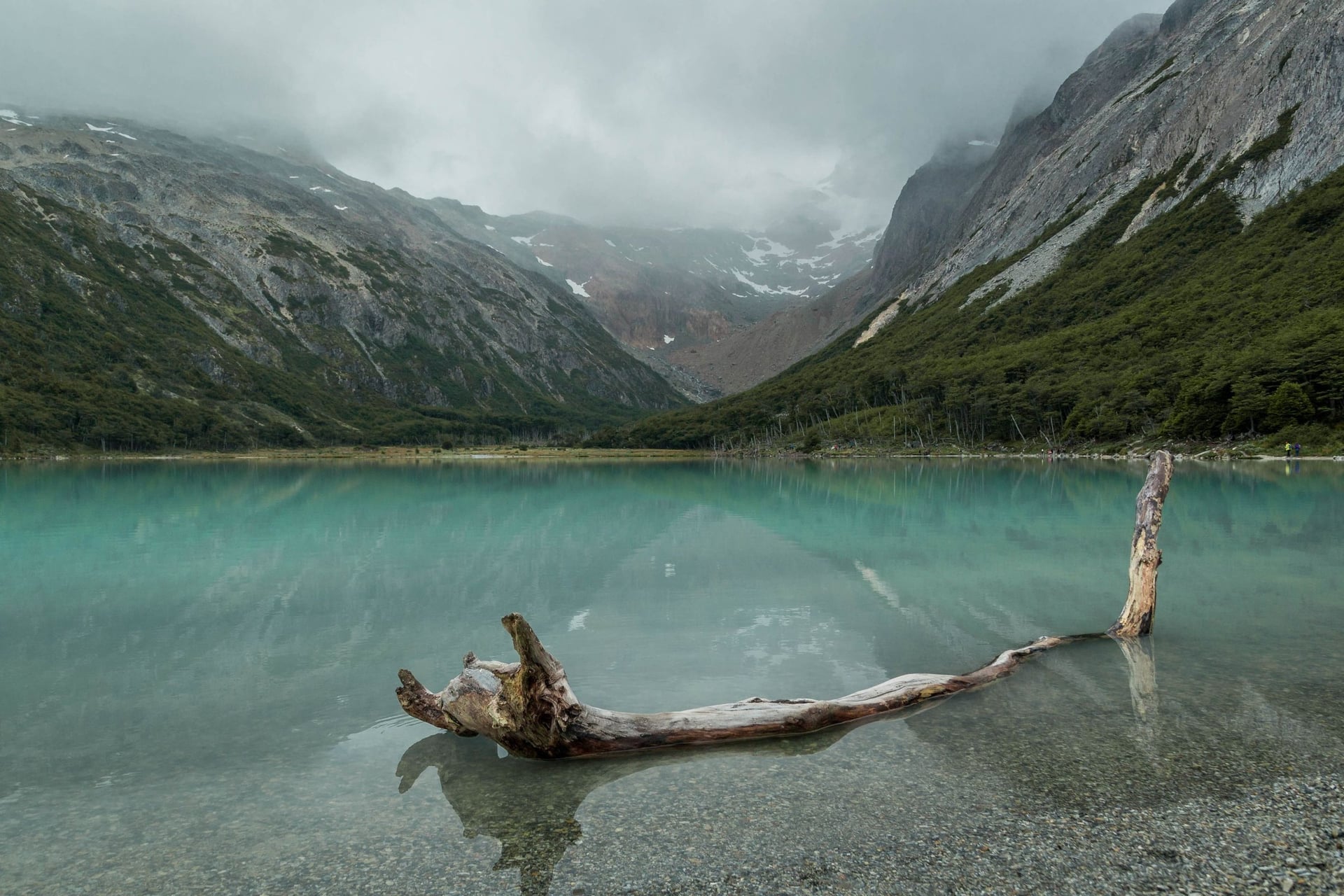
Ushuaia's tourism office rates this walk medium-easy, 9 km return with 220 m of ascent. The path crosses lenga forest and then a peat bog, so waterproof boots matter more than fitness here. The lagoon sits in the Valle Tierra Mayor reserve.
The trailhead is a large car park 18 km from town on Ruta Nacional 3, on the left as you head out of Ushuaia. The lagoon is fed by meltwater from the peaks above, and its green colour gives it its name.
Best Time to Hike in Patagonia
The trekking season runs from October to April. December to February brings the longest days, and Argentina's weather service records the strongest winds from November to February. Our W departs from 1 December to 12 March and the O from 13 January to 13 April.
Las Torres opens its camps and refugios from October to April, while Paine Grande stays open all year. From May to September CONAF closes the O and requires a guide on the W, and Los Glaciares asks every hiker to register. Month-by-month detail is in our best time to visit Patagonia guide.
How to Get to Torres del Paine and El Chaltén
Fly to Punta Arenas (PUQ), then take the bus to Puerto Natales, about 3 hours 15 minutes. Puerto Natales has its own aerodrome, but runway works limit it to weekend flights from January to March 2027. Morning and afternoon buses run from Natales to the park's Laguna Amarga gate.
For El Chaltén, fly to El Calafate (FTE) and take the bus about 215 km north, roughly 3 hours. Both towns have buses from Puerto Natales and Punta Arenas, so the two parks link by road. Bus companies and park transfers are in our guide on how to get to Torres del Paine.
How Much Hiking in Patagonia Costs
Park fees come first. In Torres del Paine a foreign adult pays CLP 32,400 for one day or CLP 48,500 for 2 to 10 days, about USD 33 and USD 49. Los Glaciares charges ARS 50,000 a day, about USD 35, with half price for a second day within 72 hours.
Cerro Castillo's traverse pass is CLP 37,750 and Queulat charges CLP 12,000. Beds cost far more than tickets. At Vertice's Paine Grande a bunk is USD 66 with your own sleeping bag or USD 114 made up, and full board USD 110 (2026-27).
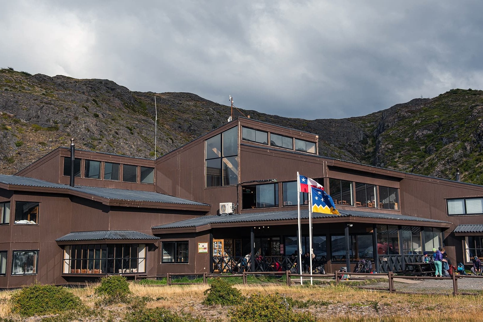
Las Torres charges from USD 230 for a bed in a six-bed dorm at Central from November to March, and USD 200 in October and April. Full board there is USD 140. Pitches for your own tent start at USD 11 at Vertice's camps, and El Chaltén's camps cost ARS 30,000 a night.
Our W package includes the park ticket, four refugio nights with dinners and the Lago Grey boat. All our Patagonia hiking trips list their inclusions on the tour page. Book the refugio chain early, because the beds sell out before the tickets do.
What to Pack for Patagonia's Wind and Weather
Pack for four seasons in a day. Our W kit list includes a waterproof jacket, a down jacket, gloves and a warm hat, because wind and strong sun come on the same day. Bring poles; CONAF was still recommending microcrampons on the W in October 2026.
For refugio nights carry a 25 to 45 litre pack and a sleeping liner, plus a headlamp, toilet paper and some cash. El Chaltén's park portals take cards only. In Torres del Paine stoves are allowed only in signed cooking areas, and a fire elsewhere can mean a fine of up to CLP 2,000,000 or expulsion.
Torres del Paine or El Chaltén: Where to Hike First
Choose Torres del Paine for a multi-day trek with a bed and a hot meal at the end of each day, booked months ahead. Choose El Chaltén for day hikes from a village, picked each morning by the weather. A day hike there needs only a park ticket, and a camp booking only if you stay out overnight.
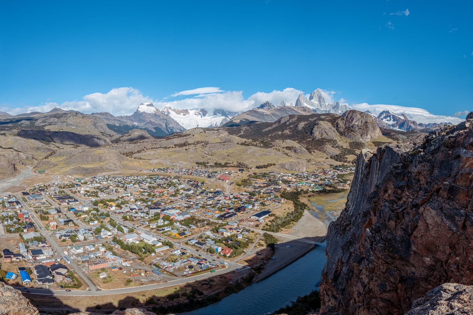
With 10 to 12 days you can do both: the W in a week from Puerto Natales, a travel day north, then three days of El Chaltén walks. Keep a spare day on the Argentine side. A cloudy morning there only means waiting in the village for the next one.
Frequently Asked Questions
Plan with a hiking expert
Free advice from a team that knows these routes inside out - real people, not a bot

HASSLE-FREE
We handle itineraries, accommodations, and anything else you prefer not to deal with, so you can enjoy a carefree hike.

BOOK WITH CONFIDENCE
We are a financially protected company, fully bonded and insured, keeping your money safe and allowing you to travel with confidence.

TRIED & TESTED ADVENTURES
Only the best hut to hut hikes in the world, cherry-picked by our local team with an in-depth knowledge.

UNBEATABLE SUPPORT
Our 24/7 customer support is where we show our passion, bringing you a better experience by making your well-being our number one priority.